Choquetanga Valley
by Lawrence Rubeyand A. Bennett Hennessey
 The Choquetanga Valley
provides a glimpse at the diversity of the High Andes before intensive human
habitation. The valley holds a remnant Polylepis forest, one of the closest to
La Paz. The
species, Polylepis racemosa,
is suited to semi-humid area and somewhat rarer than the Polylepis
species in Sajama
National Park and San Miguel in Cochabamba. While the Polylepisforest above Pongo
is somewhat disturbed and, as is often the case, more scrub than forest, it
still attracts of variety of Polylepis specialties. Starting at an altitude of just under
3700 meters, the
225 meter climb to the Polylepisforest can be strenuous. Make sure you
are reasonably well acclimated to the altitude before attempting it. The path
is quite good, if a bit steep. Even if La Paz
temperatures are warm, be prepared for cold, foggy weather. Bring adequate
clothing and rain gear. The Choquetanga Valley
provides a glimpse at the diversity of the High Andes before intensive human
habitation. The valley holds a remnant Polylepis forest, one of the closest to
La Paz. The
species, Polylepis racemosa,
is suited to semi-humid area and somewhat rarer than the Polylepis
species in Sajama
National Park and San Miguel in Cochabamba. While the Polylepisforest above Pongo
is somewhat disturbed and, as is often the case, more scrub than forest, it
still attracts of variety of Polylepis specialties. Starting at an altitude of just under
3700 meters, the
225 meter climb to the Polylepisforest can be strenuous. Make sure you
are reasonably well acclimated to the altitude before attempting it. The path
is quite good, if a bit steep. Even if La Paz
temperatures are warm, be prepared for cold, foggy weather. Bring adequate
clothing and rain gear.
The key attraction
in the forest is the Ash-breasted Tit-Tyrant. An endangered and rare Polylepisspecialty known from a handful of sites
in
Peru,
for years the only Bolivian record was a 1935 specimen. Yet in 1993, SjoerdMeyer, a Dutch ornithologist, discovered and sound
recorded a small flock of Ash-breasted Tit-Tyrants in the
Choquetanga Valley. They appear to be resident
and, based on about a half-dozen visits,they are
likely to be seen on over two-thirds of all visits. With their white tail
feathers and tendency to travel in small family groups, they are fairly
conspicuous.
Other species found
in the valley, some of which are at least partially Polylepis-dependent,
include: OlivaceousThornbill,
Blue-mantled Thornbill, Tawny Tit-Spinetail,
Line-fronted Canastero, Giant Conebill
(occasionally- also seen flying away over the tops of the ridges),
Stripe-headed Antpitta, Puna (Andean) Tapaculo, Brown-bellied Swallow and Brown-backed
Chat-Tyrant, Plain-co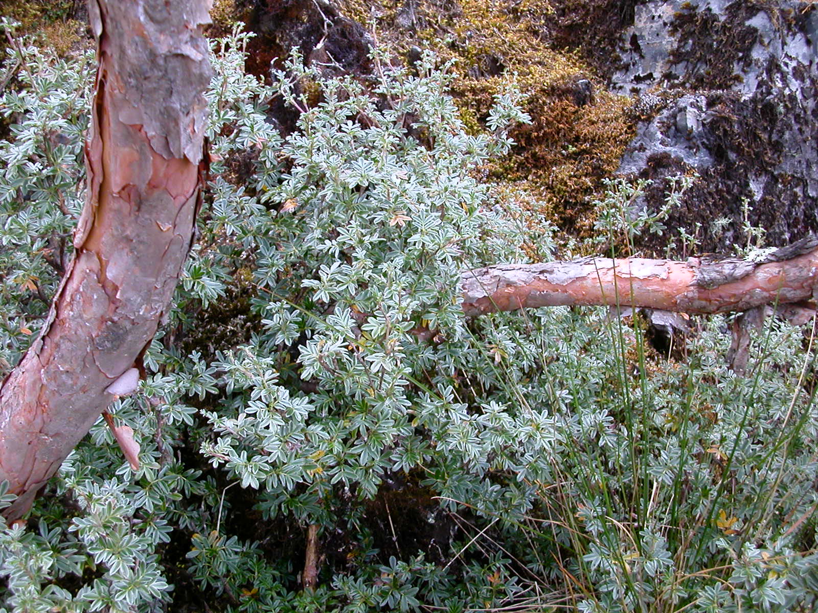 lored Seedeater. Andean Hillstar
and Great Sapphirewingcan be found feeding when
flowers are in bloom, especially near the stunted Gynoxys trees. A walk through the bunch grass at the perimeter of the forest will
likely flush a Scribble-tailed Canastero. Cinereous
Ground-Tyrant is likely on the way up or down. Finally, even Andean Condor
has been seen soaring overhead on rare occasions. lored Seedeater. Andean Hillstar
and Great Sapphirewingcan be found feeding when
flowers are in bloom, especially near the stunted Gynoxys trees. A walk through the bunch grass at the perimeter of the forest will
likely flush a Scribble-tailed Canastero. Cinereous
Ground-Tyrant is likely on the way up or down. Finally, even Andean Condor
has been seen soaring overhead on rare occasions.
Unfortunately, the Polylepisforest in the Choquetanga
valley is under severe threat. Evidence of cattle grazing is everywhere.
However, cattle do not seem to penetrate the boulder fields where Polylepishave established as stronghold. Burning of the
hillside grasslands also threaten the small patch of forest. AsociacionArmoniais working
with the local community of Pongoto protect the
area. The community havedeclared that they will no
longer burn the grass in the area, and will create a protective wall around
the forest. In 2006, Armonía will begin a reforestation project and try attemptto develop a tourism structure in the area. If you
want to help the effort, after your birding adventure, celebrate with a Pongofarm raised fresh trout lunch or dinner in the
stalls- and declare loudly that you are tourists who came to enjoy the Choquetangaforest.
Located in the
valley just below the food stalls on the paved highway, Pongo
town itself can have some interesting species in the exotic plantations and
flowering bushes. White-browed Conebilland
Brown-backed Chat-Tyrant are notable.
Logistics: Pongois a small town just off the
Coroicoroad. Townspeople operate a number of food
stalls which line the Coroicoroad and provide a
convenient place to park. At the
La
Cumbre (see Site 5 above) re-set
your odometer to zero (
0.0
km). Continue down the Coroico
road until you see the Pongofood stalls on your
right (
14.5 km
from the Cumbre). Park your car (or get off the
bus) at the food stalls. From the parking area in front of food stalls,
orient yourselfto the north. Head back up the road
50 meters or so, cross
the paved road and begin a steep climb (north) into the Choquetanga
valley on the small path that parallels the left-side of the waterfall. After
10 minutes or so, reach the "first level" with a small pond and
beautiful views of a second, larger waterfall to the north. The sheer cliff
face of the second waterfall makes a direct assault impractical. Facing the
second waterfall, look to the right and you can see a path running along side
of the valley which will serpentine your way up and eventually to the
"second level" area that is just above this second waterfall. As
you surmount the "second level," the second waterfall will be on
your left. You may find the path blocked with rocks; the rocks are to prevent
animals grazing in grasslands further up the path from wandering too far.
Once you arrive above the waterfall (you will pass it on your left as you
climb the trail), walk due north for a couple hundred meters until you reach
the Polylepisforest at the base of a large
boulder field. Smaller remnant Polylepisis
also found further up on a "third level." The total climb from food
stalls to the forest is about an hour without birding or rest stops. Charles Hessewrote, "I found the Ash-breasted Tit-Tyrants on the
tiny patch on the 3rd level. Here I found Line-fronted Canastero
and Giant Conebillat the same time. Great
place, especially the second time I went there and it didn't rain so much."
GPS reading at Pongofood stalls (roadside parking area): S 16 19.443 W
67 57.216
GPS reading at the Polylepis forest: S 16
19.501 W 67 57.247 |